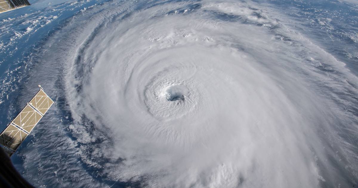


Dr. Carlos Silva and his team at the University of Florida Institute of Food and Agricultural Sciences (UF/IFAS) have developed a new method for assessing hurricane damage in forests using lasers and artificial intelligence. Traditionally, assessing forest damage involved physically going into the field and measuring trees, but Silva recognized the need for a faster and more efficient way to evaluate damage, especially in Florida where hurricanes are common.
Silva’s team utilized NASA satellites and lidar technology to scan trees on the ground. Lidar uses pulsed lasers to measure distances and gather data, while ground scanners attached to backpacks and all-terrain vehicles collected additional data. By combining information from these sources, the team was able to create three-dimensional maps of forests before and after hurricanes.
The researchers then leveraged artificial intelligence to develop an online mapping platform that displays the impact of hurricanes on Florida forests. By testing different AI models, the team aims to provide a helpful tool for assessing damage severity, planning restoration activities, filing insurance claims, and making informed management decisions post-hurricane. These maps are available online for anyone to access, offering a valuable resource for individuals and organizations affected by hurricanes.
The UF/IFAS team hopes that their innovative approach will contribute to more efficient and effective response strategies during hurricane season.